MAPPING
Oil and mining
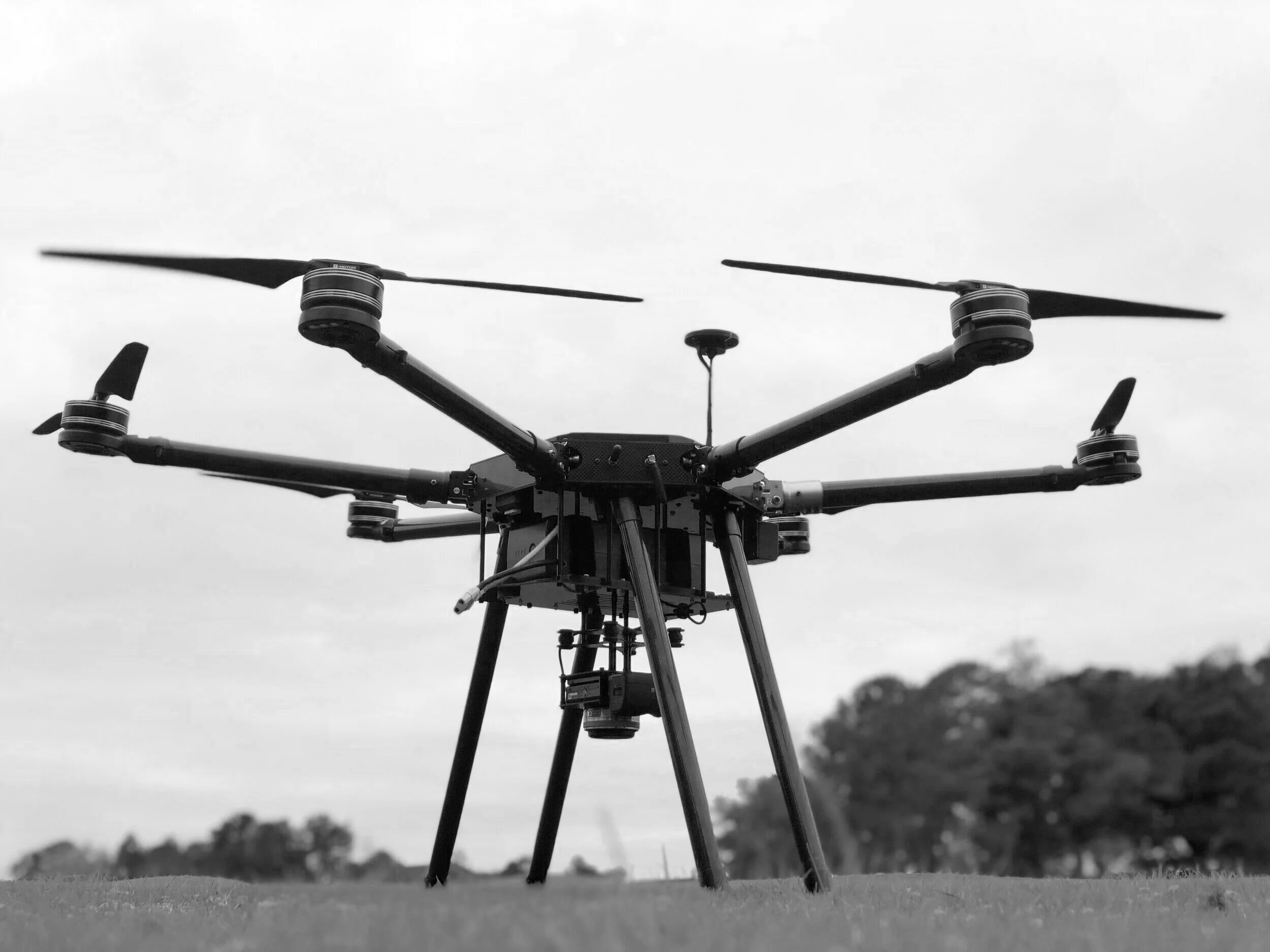
Constructed with highly durable materials and designed for long flight times our UAV systems provide safe and cost effective solutions to carry out inspections and provide vital intel on topographical information for faculties. Using GPS and laser scanning we can provide drones for creating 3D maps for determining shape and elevation for landmarks like mountains, roads, rivers and buildings to ensure effective planning for engineers.
Oil and Gas Pipelines inspections via drone platforms can provide safe, fast and cost-efficient means of inspecting and analyzing pipelines. Applications range from monitoring pipelines, checking for natural conditions and overseeing needs for repairs, preventing shutdowns and delays by detecting both internal and external conditions.
Agricultural
Our drone accessible technology can provide precise real time aerial views of crops allowing farmers to optimize profitability and farm production by attaching cameras and sensors to collect images optimizeing the use of pesticides, water, seeds, and fertilizers efficiently, saving time allowing for higher yields and better quality crops at a reduced cost.
Construction
Builders can use our drones to collect real time data and insights of ongoing constructing sites such as building infustructure, dams, and bridges by tracking progress and preventing problems in turn saving delays and costly repairs before they happen. Aerial views of construction sites increase safety hazards, reduce personal costs and save time by surveying and delivering accurate measurements and analysis.


